Top Industry applications for LiDAR technology
LiDAR (Light Detection and Ranging) technology has revolutionised various industries with its ability to accurately measure distances and create detailed 3D maps. Originally developed for military applications, LiDAR has found its way into numerous applications such as autonomous vehicles, forestry, archaeology, and many more. In this post, we will explore the top uses of LiDAR and how it is transforming these industries.
LiDAR in Autonomous Vehicles
Improved Navigation: LiDAR sensors provide precise distance measurements, allowing autonomous vehicles to navigate complex environments with ease.
LiDAR can detect and map the surrounding environments and objects within it in real-time, enabling vehicles to make informed navigational decisions as well as avoid collisions.
Accurate Mapping: LiDAR technology creates high-resolution 2D/3D maps of the surrounding environment, providing autonomous vehicles with detailed information about roads, buildings, and other objects. Due to the continuous updates, the maps can provide accurate navigation even in dynamic environments.
LiDAR in Forestry
Forest Inventory: LiDAR can accurately measure tree height, canopy density, and volume, providing valuable data for forest inventory management. This information helps foresters make informed decisions about harvesting, reforestation, and conservation efforts.
Forest Fire Management: LiDAR can detect changes in vegetation density and identify potential fire risks. By monitoring forest areas with LiDAR, authorities can take proactive measures to prevent and manage forest fires.
LiDAR in Archaeology
Site Mapping: LiDAR technology can quickly and accurately map archaeological sites, capturing detailed 3D data relating to structures, landscapes, and artifacts. This data can help archaeologists analyse and interpret the site, uncovering hidden features and gaining insights into past civilizations.
Landscape Analysis: LiDAR allows archaeologists to study the topography and landscape of an area, revealing ancient landforms, water systems, and manmade features / artifacts. This information aids in understanding how past societies interacted with their environment.
LiDAR in Urban Planning
City Modelling: LiDAR can create highly detailed 3D models of cities, capturing the shape and structure of buildings, roads, and infrastructure. These models assist urban planners in visualizing and analysing the impact of proposed developments, improving city design and functionality.
Flood Risk Assessment: LiDAR data can be used to accurately assess flood risks by mapping elevation and identifying areas prone to flooding. This information helps urban planners make informed decisions about infrastructure development and flood mitigation strategies.
LiDAR in Architecture and Building Management
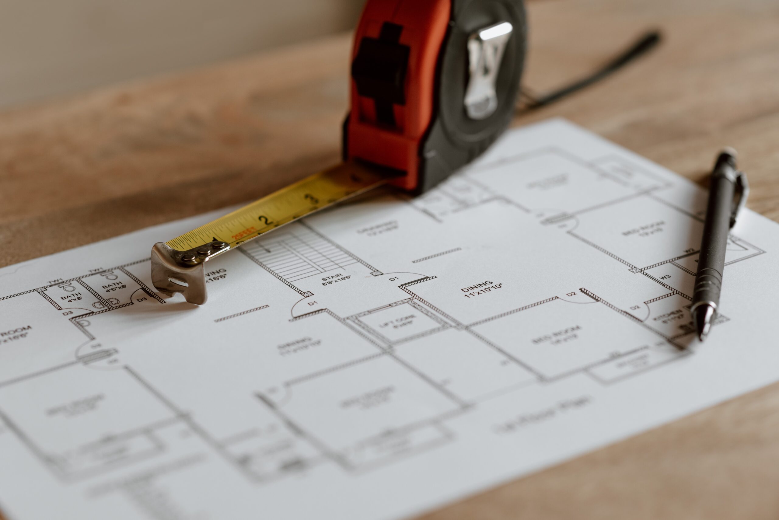
Enhanced surveying and Mapping: LiDAR enables accurate and efficient surveying and mapping of buildings and construction sites. It provides detailed topographic data, allowing architects and engineers to create precise and comprehensive site plans and identify potential issues prior to land clearance and construction commencement.
Building Information Modelling: LiDAR data can be integrated into BIM software to create detailed and accurate digital representations of buildings. This allows better visualization, analysis, and collaboration among architects, engineers, and other stakeholders. As work progresses on site, data can be used to compare progress against original plans, highlighting any discrepancies.
LiDAR in Interactive Media and Art
Gesture recognition: LiDAR technology can improve the accuracy and responsiveness of touchless interfaces such as kiosks, information displays and navigation systems. Through gesture-based controls these systems can be made more intuitive, improving user experience.
Proximity sensing and interaction: LiDAR sensors can be used to determine how close a visitor is to a display, whether it be an advertising board or piece of art. This information can then be used to trigger a specific response in the form of dynamic lighting, audio experience or tailored output / advertising.
In Conclusion
LiDAR technology has proven to be a game-changer in various industries, from autonomous vehicles to forestry, archaeology, and urban planning. Its ability to accurately measure distances and create detailed 3D maps has opened new possibilities for innovation and efficiency. As LiDAR continues to advance, we can expect even more exciting applications and advancements in the future.
We have several LiDAR sensors that can be used across a wide range of industries. You can find out more about our full selection of LiDAR scanners here. And make sure to stay up to date with all our news, insights and product developments by following us on LinkedIn and X.
Popular news

How does LiDAR compare to camera and RADAR technology?
Comparison of LiDAR (Light Detection and Ranging), Camera and RADAR (Radio Detection and Ranging) technology.

What is Art… and how can LiDAR technology be used to create it?
LiDAR has found new applications in interactive art installations, enabling impressive immersive experiences.
Get expert advice on which product is best for you:
Germany: +49 7824 70397-50
United Kingdom: +44 1666 660016
Get in touch